Professional Surveying Services

Column & Footing Marking
Precision marking for building columns and foundations ensuring structural alignment with architectural plans.
Learn More
Contour Survey
Detailed measurement of land elevations and terrain variations in a grid format for precise site analysis.
Learn More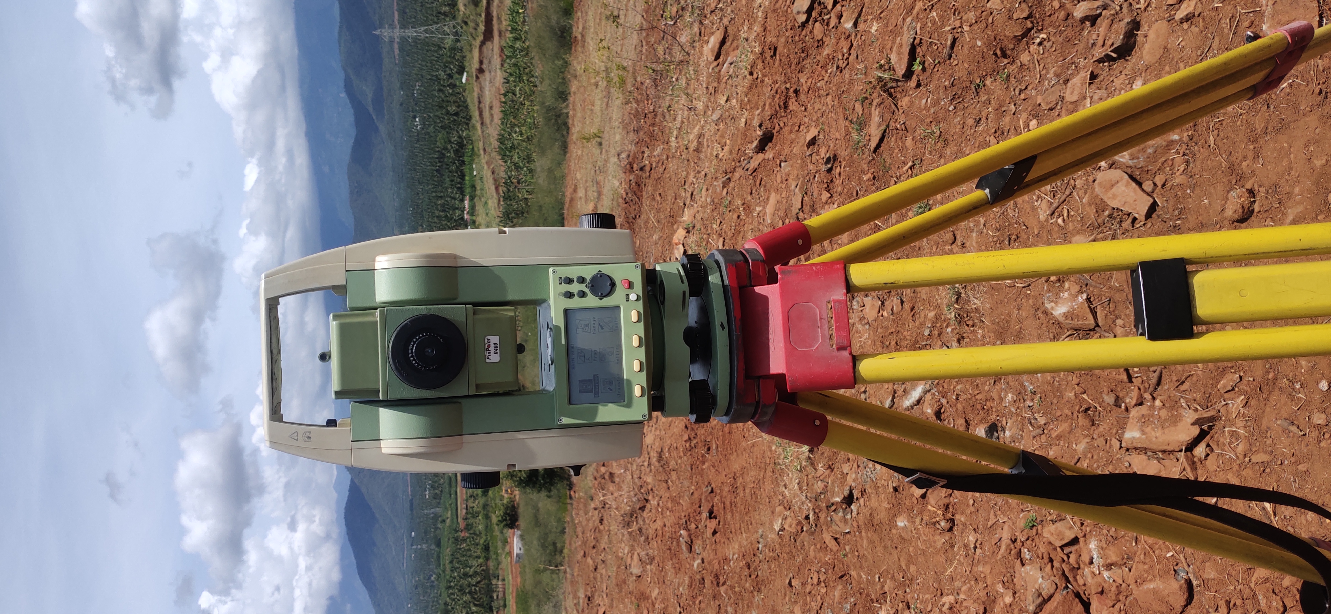
Layout Marking
Complete site layout planning and marking services for organized construction and plot development.
Learn More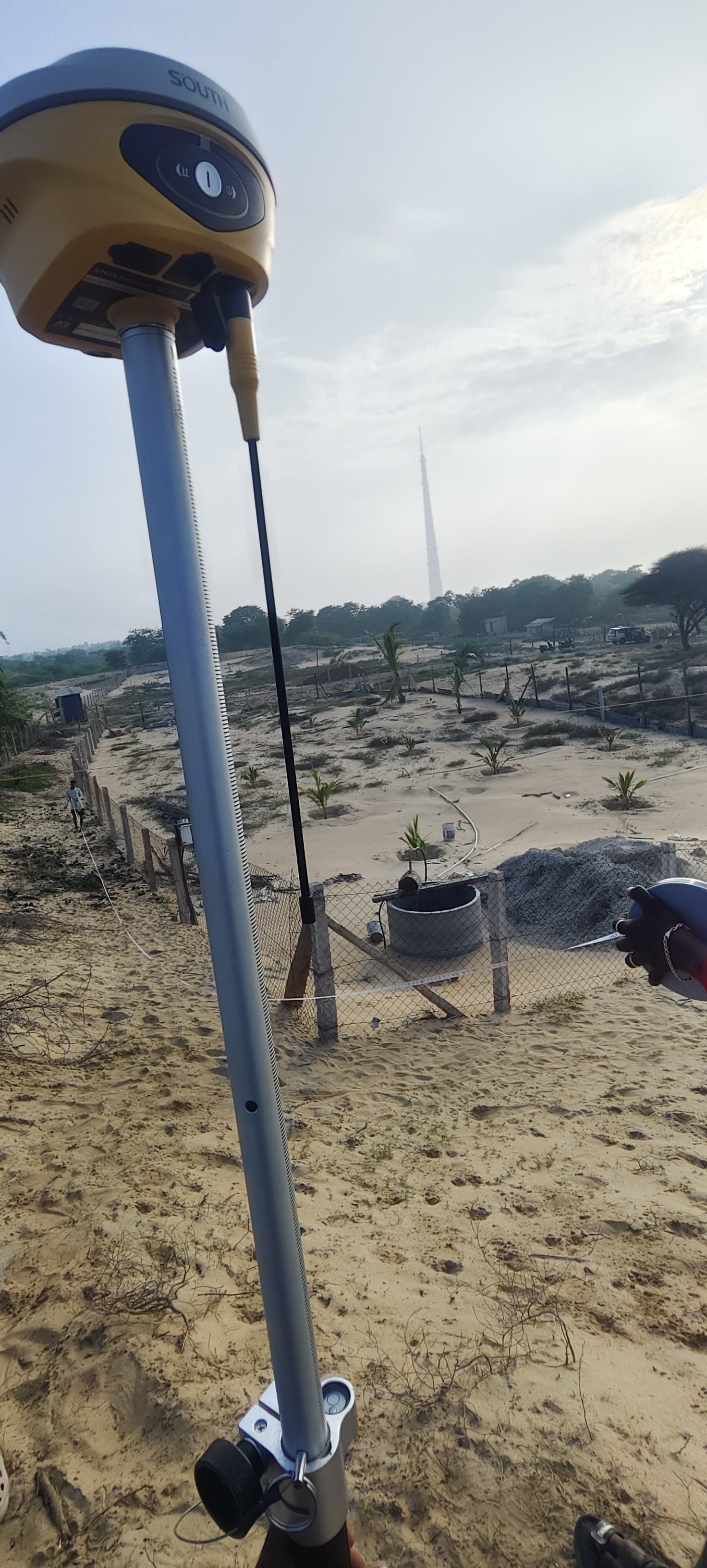
Subdivision Survey
Accurate partitioning of land into multiple plots with legal compliance and detailed boundary charts.
Learn MoreBoundary Survey
Measure existing boundaries for exact extent and dimensions to protect property rights.
Learn MoreStakeout Survey
Precision marking of proposed buildings or structures on the ground for construction.
Learn MoreTopographic Survey
Comprehensive mapping of horizontal and vertical features of land for design analysis.
Learn MoreInterior Survey
Detailed measurement and mapping of interior building dimensions and features.
Learn MoreLevelling Survey
Determining relative heights of points on the ground for accurate foundation level.
Learn MoreEarthwork & Volume Calculation
Calculating soil excavation and fill volumes for precise construction cost estimation.
Learn More


